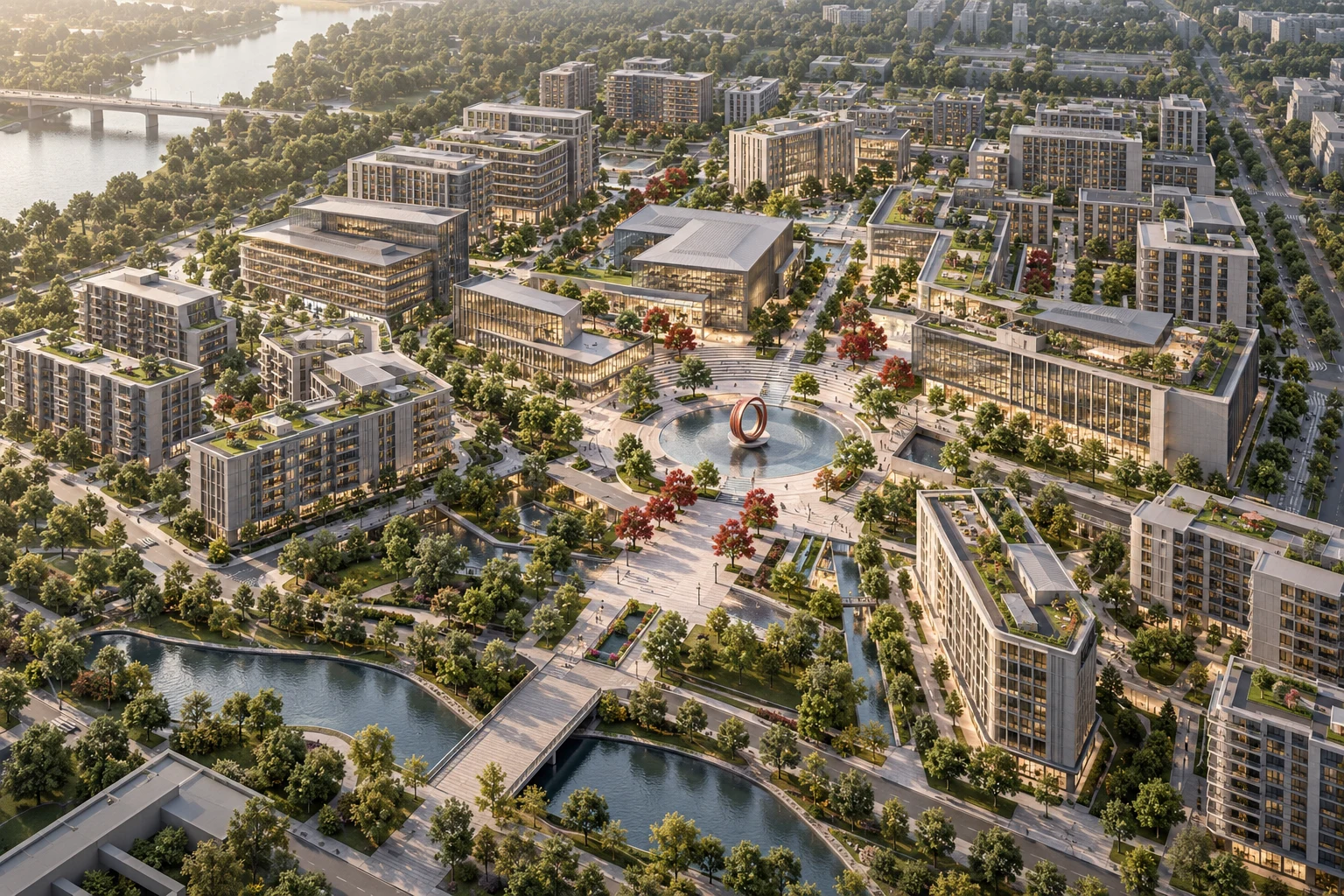
Commons District
A district organized around the life between its buildings.
Reference planning area: 25 hectares
One spatial strategy, from the first parcel to the final phase.
Design visualization
We design the relationship between land use, density, mobility, landscape, and infrastructure. Development parcels and shared systems form a legible plan, with a phasing strategy that connects near-term investment to the long-term vision.
Activities, density, and development parcels are considered together.
Movement, utilities, landscape, and public space structure the district.
Each stage supports the place while the larger plan develops.
Explore the design, the reference specification, and the configuration for each program.
A district organized around the life between its buildings.
Reference planning area: 25 hectares
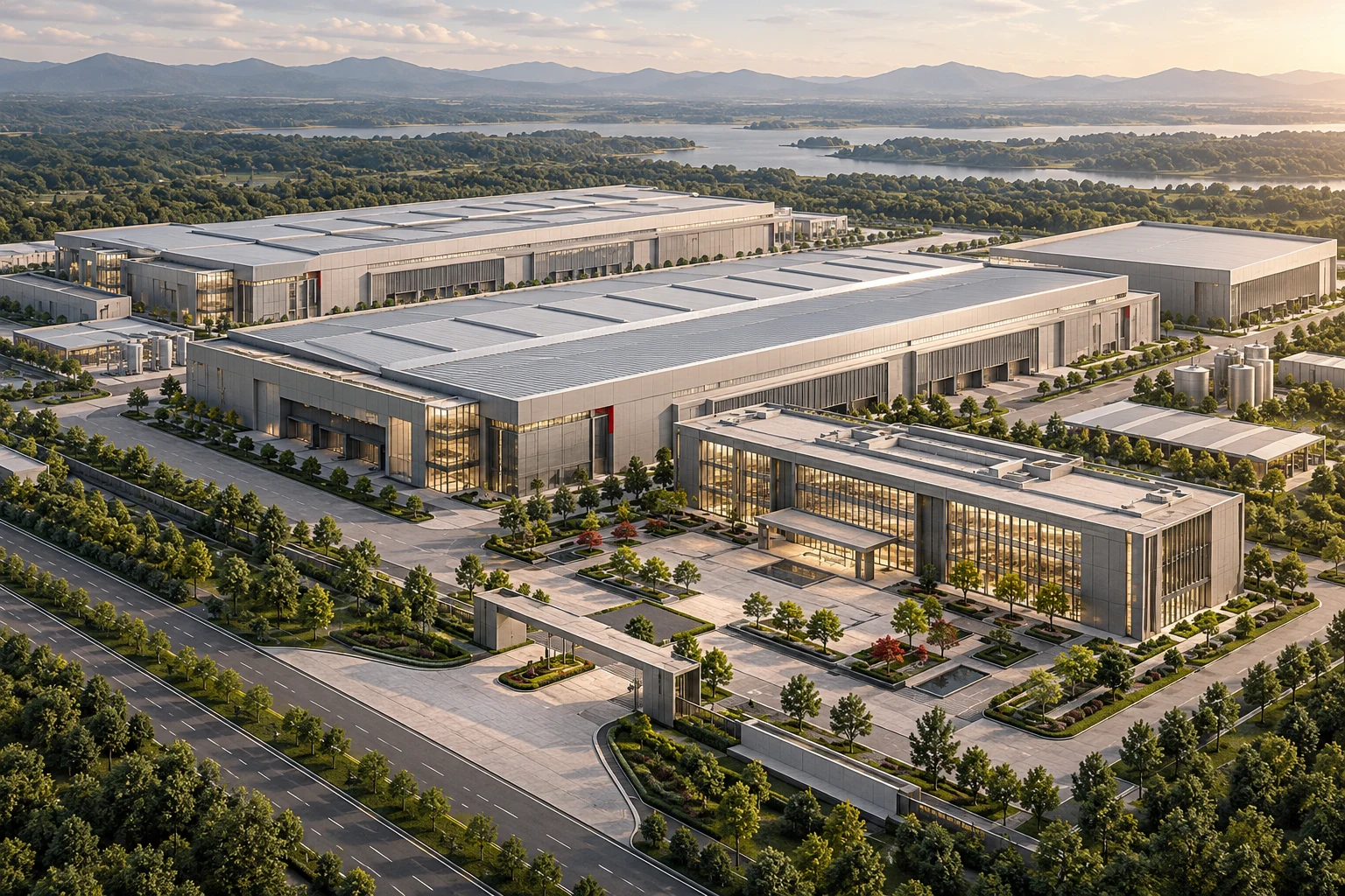
A connected district for businesses at different scales.
Planning brief: Employment district and shared infrastructure
Bring us the site, the ambition, and the constraints. We turn them into a spatial strategy, a building program, and a coordinated design brief.